UW Atmospheric Sciences Professor Cliff Mass seems to be taking a reasonable tack lately on the impacts of climate change in the Pacific Northwest (check out this 2014 video on YouTube). Dig this observation-based piece at his blog. Laissez la science prospérer!
September 2, 2015
Environmental monster match-ups are familiar to many of you.
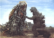
For example, who could forget Godzilla versus Hedorah, The Smog Monster?
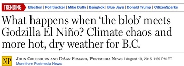
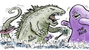
Godzilla El Nino versus The Pacific Blob
Much is riding on this conflict and this blog will consider the potential outcome.
The Match-Up
On one hand, one of the strongest El Ninos in decades is developing, the Godzilla El Nino. NOAA is so sure about its effects this winter that it is going for a 90% chance of a strong El Nino, which would make the Northwest warmer than normal, slightly drier than normal, with roughly 20-30% less snowpack than normal in the mountains.
El Ninos are associated with warmer than normal water in the central/eastern tropical Pacific and along our immediate coast.
Together, will they destroy Northwest snow and normal weather? Bring another torrid winter in our region? Terminate our ski industry?
I suspect I know what will happen.
They will NOT combine forces. They will fight, and one will win.
Just like in the movies, Godzilla will become our ally. And it makes sense that the mighty Godzilla will prevail.
Let me tell you why.
The BLOB, as documented in a nice paper by State Climatologist Nick Bond and colleagues was the stepchild of a huge area of high pressure along and east of the West Coast of the U.S. High pressure resulted in less wind and mixing of the upper ocean layers, leading to reducing mixing of cooler sub-surface water to the surface. Thus, the ocean surface was warmer than normal.
The anomalous high pressure also resulted in less movement of cooler Pacific waters from the north. Weaker cold advection in technical terms.
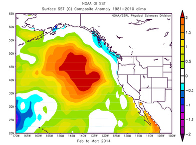
Here is an example of the sea surface temperature (actually the difference from normal, or the anomaly) associated with the BLOB. BLOB is warm.
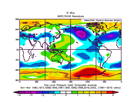
Here is the typical sea level pressure anomaly associated with El Nino (the difference of pressure from normal). Pressures are LOWER THAN NORMAL over the eastern Pacific (purple colors). A BLOB KILLER. Why? Because it is exactly opposite of the pattern that produced the BLOB--- high pressure in the same area.
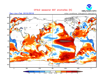
Here is the predicted sea surface temperatures for this winter. A narrow zone of warm water immediately off our coast (which is typical of El Ninos), but no BLOB. In fact, cooler than normal waters offshore. You can see the very warm water over the central and eastern tropical Pacific...a sign of a powerful El Nino.
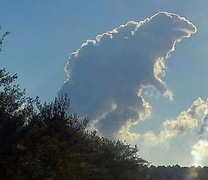
And there are other signs in the sky that suggest my hypothesis is correct....
What does that mean for our weather? A strong El Nino bring modestly warmer than normal temperatures, with a snowpack about 20% below normal. Much better than last winter. The correlation with Northwest precipitation is weak. Less lowland snow and fewer major storms. Enhanced precipitation over southern/central California.
In short, far more normal conditions than the weird weather we have experienced during the last year. Our region should rejoice in Godzilla El Nino's strength. But deep down we will be sad for the vanquished BLOB.



 RSS Feed
